A walk in the woods with Wright State biologist Don Cipollini
Don Cipollini, professor of biological sciences at Wright State, explores the natural world in his cable access and YouTube series “The Naturalist with Don Cipollini.”
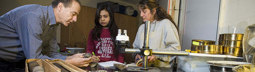
With global need for scientists who understand the geologic and environmental ramifications, now is a great time for you to prepare for a career in earth and environmental sciences. You can pursue course offerings and research opportunities in both undergraduate and graduate degree programs. Experiential learning is available to you through our working relationships with county boards of health, park districts, EPA offices, and local businesses. You will learn in research facilities with faculty members who are trained and experienced in field data acquisition, modern analytical techniques, sophisticated data processing, and computer modeling. Our graduate programs include Master of Science in Earth and Environmental Sciences (thesis and non-thesis) and an interdisciplinary Environmental Sciences, Ph.D.
 She has degrees in environmental sciences and sociology from Wright State but works as an editor for an automotive magazine. |
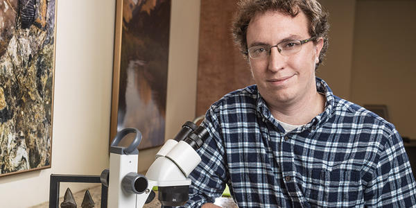 Ryan Shell, an earth and environmental sciences Ph.D. student, studies the biodiversity, biogeography and paleoecology of marine vertebrates during the early Permian Period. |